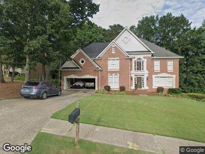
4269 Highborne Dr NE Unit 3 Marietta, GA 30066
Sandy Plains NeighborhoodEstimated Value: $742,000 - $822,000
5
Beds
5
Baths
3,787
Sq Ft
$211/Sq Ft
Est. Value
About This Home
This home is located at 4269 Highborne Dr NE Unit 3, Marietta, GA 30066 and is currently estimated at $797,537, approximately $210 per square foot. 4269 Highborne Dr NE Unit 3 is a home located in Cobb County with nearby schools including Davis Elementary School, Mabry Middle School, and Lassiter High School.
Ownership History
Date
Name
Owned For
Owner Type
Purchase Details
Closed on
Dec 7, 2023
Sold by
Wagy Stephen D and Wagy Hillary K
Bought by
Stephen D Wagy And Hillary K Wagy Revocable L and Wagy
Current Estimated Value
Purchase Details
Closed on
Aug 27, 1997
Sold by
Rockwell James M and Rockwell Ann D
Bought by
Wagy Stephen D and Wagy Hillary K
Home Financials for this Owner
Home Financials are based on the most recent Mortgage that was taken out on this home.
Original Mortgage
$235,350
Interest Rate
6.8%
Mortgage Type
New Conventional
Create a Home Valuation Report for This Property
The Home Valuation Report is an in-depth analysis detailing your home's value as well as a comparison with similar homes in the area
Home Values in the Area
Average Home Value in this Area
Purchase History
| Date | Buyer | Sale Price | Title Company |
|---|---|---|---|
| Stephen D Wagy And Hillary K Wagy Revocable L | -- | None Listed On Document | |
| Wagy Stephen D | $244,200 | -- |
Source: Public Records
Mortgage History
| Date | Status | Borrower | Loan Amount |
|---|---|---|---|
| Previous Owner | Wagy Stephen D | $333,600 | |
| Previous Owner | Wagy Stephen D | $41,700 | |
| Previous Owner | Wagy Steohen D | $348,500 | |
| Previous Owner | Wagy Stephen D | $35,000 | |
| Previous Owner | Wagy Stephen D | $255,000 | |
| Previous Owner | Wagy Stephen D | $235,350 |
Source: Public Records
Tax History Compared to Growth
Tax History
| Year | Tax Paid | Tax Assessment Tax Assessment Total Assessment is a certain percentage of the fair market value that is determined by local assessors to be the total taxable value of land and additions on the property. | Land | Improvement |
|---|---|---|---|---|
| 2024 | $1,718 | $281,760 | $68,000 | $213,760 |
| 2023 | $1,482 | $271,856 | $54,000 | $217,856 |
| 2022 | $1,553 | $226,700 | $46,000 | $180,700 |
| 2021 | $1,457 | $194,544 | $39,200 | $155,344 |
| 2020 | $1,457 | $194,544 | $39,200 | $155,344 |
| 2019 | $1,457 | $194,544 | $39,200 | $155,344 |
| 2018 | $1,411 | $179,384 | $36,000 | $143,384 |
| 2017 | $1,254 | $179,384 | $36,000 | $143,384 |
| 2016 | $1,220 | $166,476 | $34,000 | $132,476 |
| 2015 | $1,309 | $166,476 | $34,000 | $132,476 |
| 2014 | $1,338 | $166,476 | $0 | $0 |
Source: Public Records
Map
Nearby Homes
- 4201 N Mountain Rd NE
- 3450 Brookhill Cir
- 3333 Devaughn Dr NE
- 3284 Devaughn Dr NE
- 4223 N Mountain Rd NE
- 3337 Devaughn Dr NE
- 4259 Creek Haven Dr
- 3510 Holliglen Dr
- 4423 Windsor Oaks Cir Unit 5
- 4270 Parnell Rd
- 4231 Shamans Dr
- 3017 Lana Ln
- 4508 Bankside Ct NE
- 4170 Summit Way
- 4349 Highborne Dr NE
- 3626 Lone Indian Trail Unit 2
- 4515 N Slope Cir
- 4404 Wigley Rd
- 4563 Ashmore Cir NE